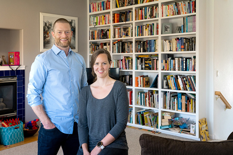
Elizabeth Barnes and Patrick Keys create satellite map of human pressure on land
The coronavirus pandemic has led researchers to switch gears or temporarily abandon projects due to health protocols or not being able to travel. But for Patrick Keys and Elizabeth Barnes, husband and wife scientists at Colorado State University, this past year led to a productive research collaboration.
They teamed up with Neil Carter, assistant professor at the University of Michigan, on a paper published in Environmental Research Letters that outlines a satellite-based map of human pressure on lands around the world.
Keys, lead author and a research scientist in CSU’s School of Global Environmental Sustainability, said the team used machine learning to produce the map, which reveals where abrupt changes in the landscape have taken place around the world. The map shows a near-present snapshot of effects from deforestation, mining, expanding road networks, urbanization and increasing agriculture.
“The map we’ve developed can help people understand important challenges in biodiversity conservation and sustainability in general,” said Keys.
Read the full Source story, “Satellite map of human pressure on land provides insight on sustainable development.”
Photo at top by Joe Mendoza with CSU Photography


