


Scott Denning explains massive Saharan dust plume moving into southeast US
A hot desert wind is carrying a massive cloud of Saharan dust into the southern United States this week. Dust plumes from the Sahara routinely blow westward across the Atlantic at this time of year, but this event is a doozy – by some measures, the biggest in decades. And a second plume appears to be forming about a week behind the big one.
Across the southeastern U.S., from the Gulf Coast to the Carolinas and potentially as far north as Indianapolis and Cincinnati, dust effects will likely be visible in the coming days. Trillions of dust grains will reflect sunlight in every direction, creating milky white skies. The dusty haze reflects some sunshine back to space, cooling the surface a bit where the plume is thickest.
Longer waves of red and orange light tend to penetrate the dusty haze, so sunrises and sunsets are likely to be especially beautiful. On the downside, where the plume mingles with showers or thunderstorms, downdrafts may carry desert dust to Earth’s surface. This will impair air quality and could trigger allergic reactions and asthma attacks. The more dust reaches an area, the more pronounced the effects will be.
Read The Conversation piece by Scott Denning, “A massive Saharan dust plume is moving into the southeast US, bringing technicolor sunsets and suppressing tropical storms,” in Source.
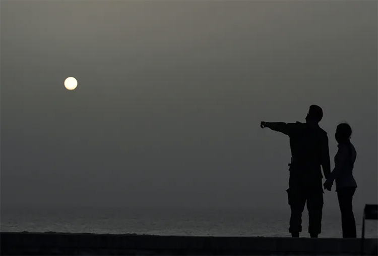
Photo at top: A vast plume of Saharan dust blankets Havana, Cuba, June 24, 2020. Yamil Lage/AFP via Getty Images