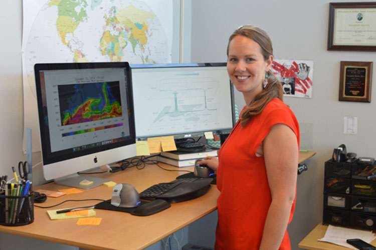
SOURCE: Libby Barnes looks for extreme weather in the middle distance
There are those scientists who predict weather patterns one to seven days out, and there are those who model long-term probabilities in weather and climate for seasons or decades to come.
Libby Barnes, an assistant professor in CSU’s Department of Atmospheric Science, works at the challenging boundary between these short- and long-term forecasts. Her aim is to understand extreme weather two weeks to two months in the advance – in the field, what’s called sub-seasonal timescales.
A story on Climate.gov, a publication of the National Oceanic and Atmospheric Administration (NOAA), details Barnes’ research goals: ensuring better predictions of the behavior of “atmospheric rivers.” Not actual rivers, these are tropical moisture patterns that typically flow from the tropics to mid-latitudes; they resemble rivers from a satellite view.
Atmospheric rivers provide the West Coast with up to half its annual precipitation, but can also cause damaging floods – and their behavior is hard to predict beyond seven- to 10-day time scales. Barnes and her team at CSU are studying atmospheric river behavior in part by examining the Madden-Julian Oscillation pattern in the tropics.
Barnes’ work – including her leadership of a task force working to predict sub-seasonal extreme weather – has been recognized many times over. Recently, she was a featured speaker at NOAA Science Days, an event that connects the entire NOAA community with NOAA-supported research. Barnes also participated in a public media event hosted by NOAA and the American Geophysical Union.
Read the SOURCE article
Read about Libby on Climate.gov
Photo: Assistant Professor of Atmospheric Science Libby Barnes at her desk. On the left monitor: water vapor image of an “atmospheric river” in the Pacific Ocean; on the right, a diagram of atmospheric circulation in the tropics.


